Beacon photo page's by Johan Veldhuis.
www.aerobeacons.nl
Toulouse Blagnac NDB TW, 25 July 2007.
There are beacons that make you thinking “how do I make a route description for it.” This Toulouse beacon is such a beacon. The navigator system brought me here coming from Auch along several narrow country roads. A beautiful surrounding with hills and small villages, but you doesn’t know where you are. No sane person would go here on holyday, exept a beacon hunter. OK, here under I try to give the route to this beacon with a lot of help from Navigator, Google Earth and the map.
From Auch the N124 goes direction Toulouse. When you are near l’Isle-Jourdain you turn right onto the D634. After 7 kilometre, turn left (at La Houme) onto the D243 direction Endoufielle. (Go further to Le Tintaret, go right at Endoufielle) Now you are driving trough the village. A difficult part is now coming. The map say’s that you are entering a T-junction, but you can also come at a crossing with a dead end ahead. In each case, turn right, that is direction Pompiac. After 100 tot 200 metre the road bents to the left. Near to this bent are the Church and the churchyard. Take the first road to the right (= to the south) at En Peillan, this road goes trough Le Garros. This road, going to direction Pompiac, swerves around the hills. (Google Earth says: Easy bent to the left at En Carrolis, Go further on at Terle, Go further on at Le Caillivet.) About 1 ½ km after La Garros the beacon is located along a road to the right, near to the begin of the road that leads to a farm only.
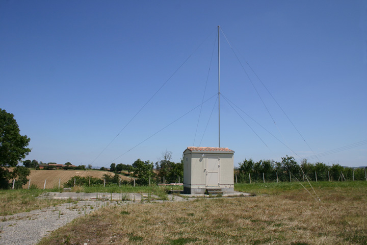
NDB TW, 25 July 2007.
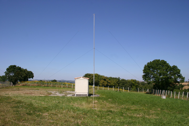
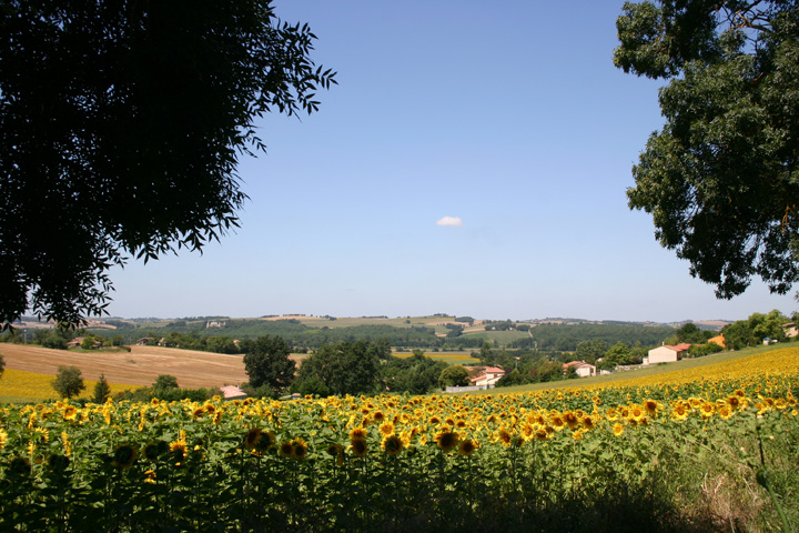
surroundings TW
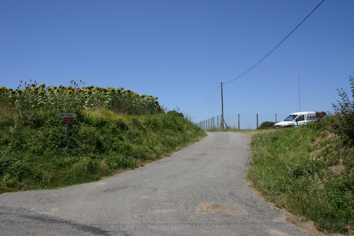
pause at TW
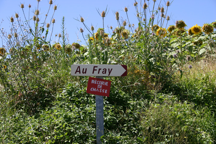
no, not reserved for, but prohibited from hunting.
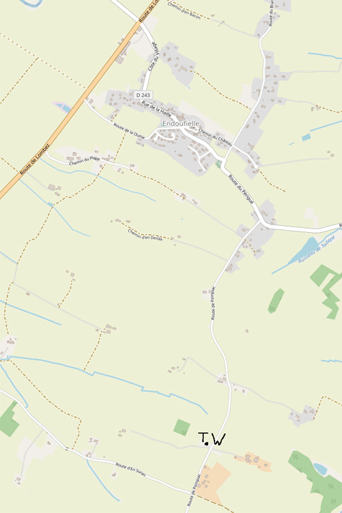
© openstreetmap.org